Summary of a presentation at the September 7, 2019 meeting “Water Quality, Stewardship, and the health of Frenchman Bay” organized by Frenchman Bay Partners and held at Schoodic Institute.
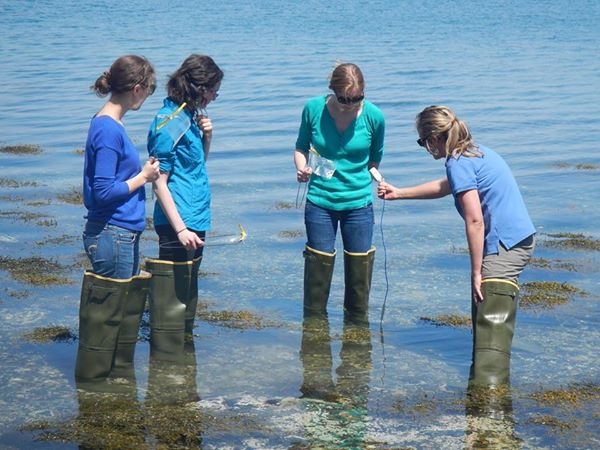
College of the Atlantic Professor Chris Petersen presented water quality collection methods from various organizations and data for Frenchman Bay, along with their interpretations of the data. Much of the data was compiled by coauthor and COA graduate student Giulia Cardoso, who was out sterning on a lobster boat during the meeting. They broke up the data into two categories of human health and for environmental health.
In regards to human health:
- The Department of Marine Resources (DMR) monitors the shoreline for bacteria such as E. coli and monitors phytoplankton for harmful algal bloom (HAB) concerns.
- Mount Dessert Island Biological Laboratory (MDIBL) citizen science program monitors for Enterococcus, cruise ship discharge, and phytoplankton.
In regards to environmental health:
- College of the Atlantic measures shoreline pH since 2013-present.
- Hancock County Soil and Water Conservation District measures shoreline pH.
- Schoodic Institute has continuous monitoring of pH since 2017-present.
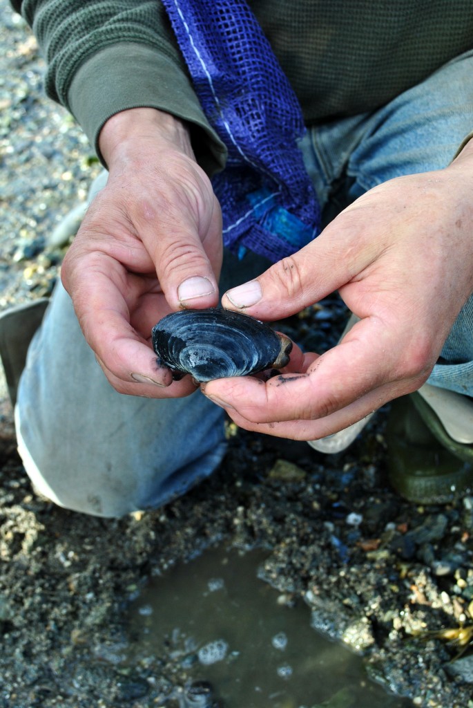
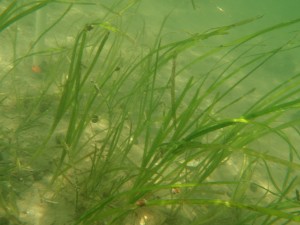
- Mount Dessert Island Biological Laboratory (MDIBL) citizen science program conducted eelgrass studies 2007-2018.
- National Oceanic & Atmospheric Administration tide gauge measures both tides and temperatures for Bar Harbor.
Below is a link to a document summarizing the sources of data that were found:
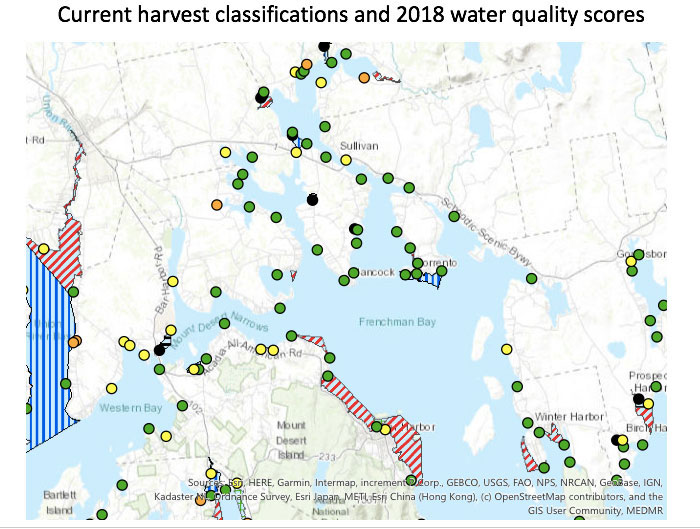
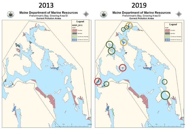
Based on E. coli & phytoplankton data as well as Overboard discharge (OBD), Active outfall (Sewage Treatment Plant), and Combined Sewage Overflow (CSO) sites there are harvest restrictions for shellfish in Frenchman Bay. As of 2012, there were approximately 610 acres of restricted clamflats in Frenchman Bay, which led Bridie McGreavy (a then graduate student of University of Maine) to work with harvesters from Frenchman Bay Regional Shellfish Committee, DMR, and scientists to identify and restore the polluted areas. Since the start of the 610 Project in 2012, there has been a 78% decrease in restricted clamfats in Frenchman Bay, which is a success story of research and mitigation measures.
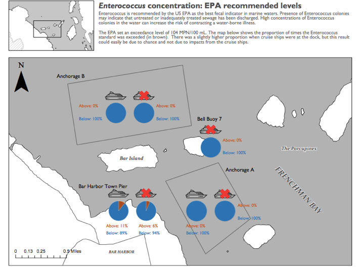
Another long term monitoring project is Frenchman Bay Cruise Ship Monitoring which started in 2004, which collects data on Enterococcus, dissolved oxygen, and biological oxygen demand. Based on all the chemical and bacterial sampling that has occurred in the bay, there are reasonably low levels of pollutants, with overall good water quality. There have been substantial reductions from historical levels of land-based bacterial pollution, with a few more fecal pollutant sources that could be improved upon.
Return to water-quality-meeting