A break out session at the September 7, 2019 meeting “Water Quality, Stewardship, and the health of Frenchman Bay” organized by Frenchman Bay Partners and held at Schoodic Institute.
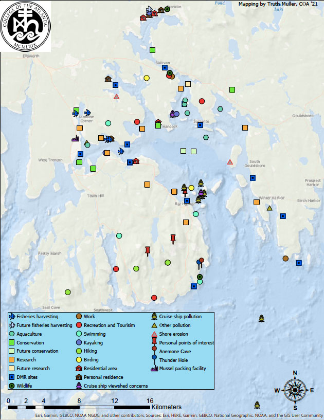
At the beginning of the event and at the first break, participants were asked to identify areas in and around the Bay that they work in, recreate in, have a relationship with, or have questions about. The associations that people placed on the map reflected the wide range of ways that people interact with the bay. The areas included: recreational use, residences, wormers, conservation areas, DMR sites, harvesting areas, and field study sites. Areas in Frenchman Bay that are activity hot spots included the Bar Harbor town dock, Mt. Dessert Narrows by the Jordan River, and the upper bay by Sorrento. Pictures of some of the maps are shown below.
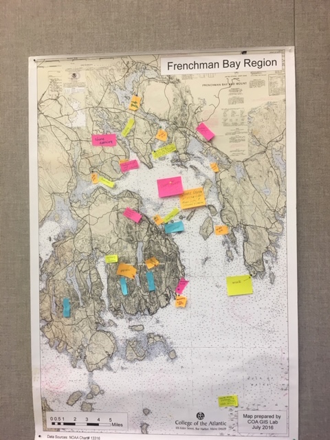
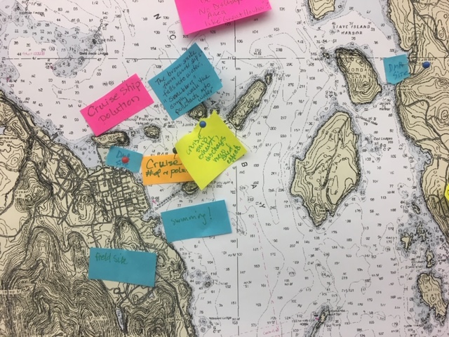
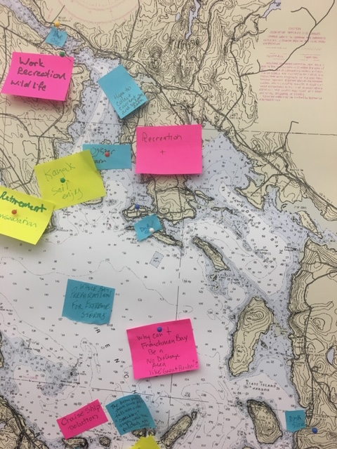
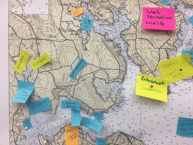
The results of this exercise were collated by College of the Atlantic student Truth Muller and added to the interactive Frenchman Bay Atlas as a set of layers that all say “Frenchman Bay Usage”. A version of those layers is presented below:
Return to water-quality-meeting